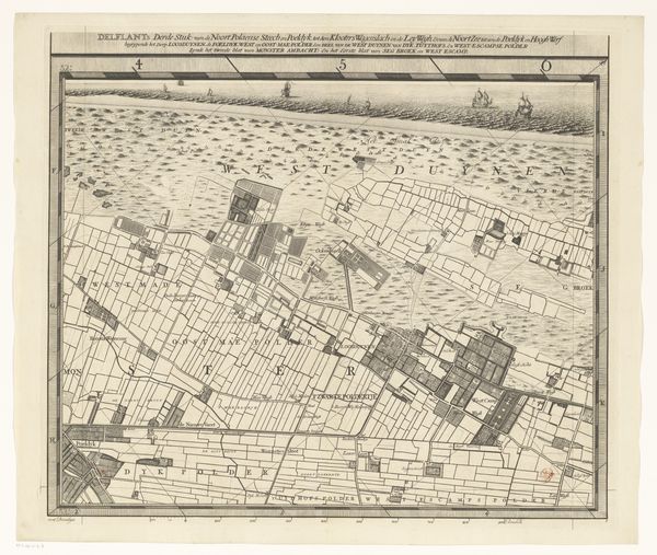
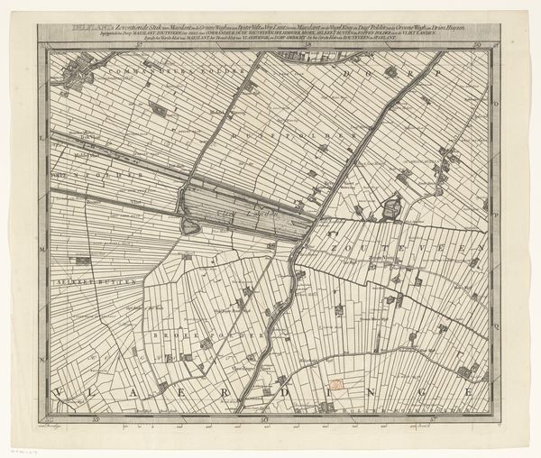
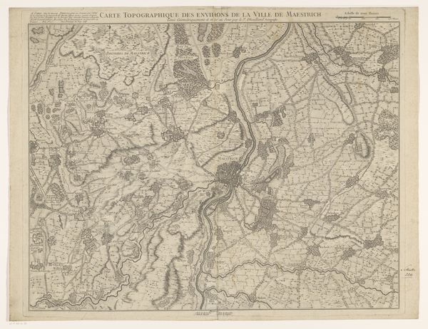
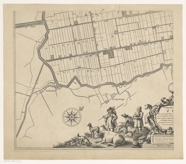
Kaart van het Hoogheemraadschap van Delfland (tweeëntwintigste deel) 1712 - 1735
0:00
0:00
print, engraving
#
baroque
# print
#
landscape
#
geometric
#
engraving
Dimensions: height 512 mm, width 593 mm
Copyright: Rijks Museum: Open Domain
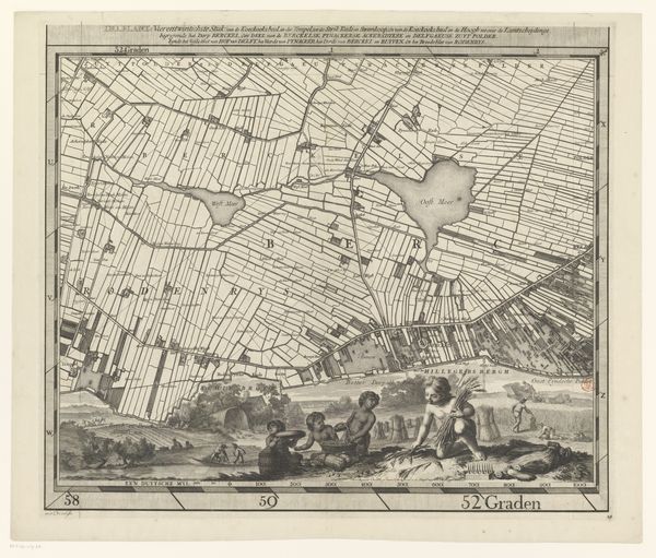
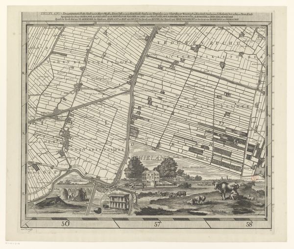
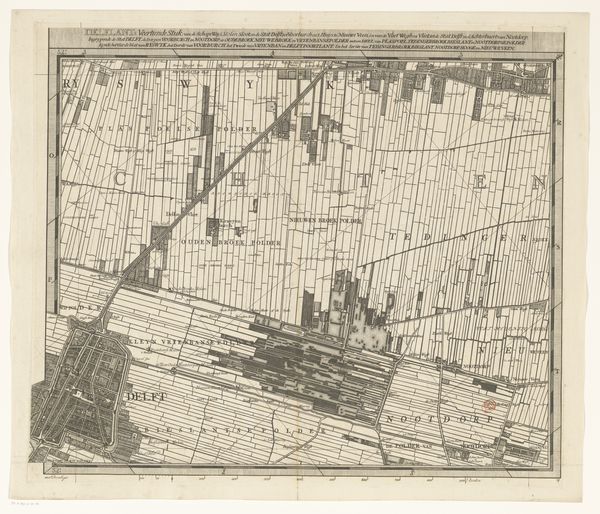
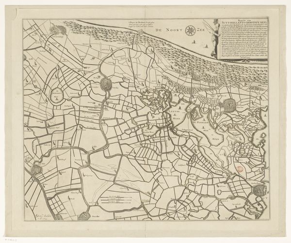
Luggert van Anse made this map of the Delfland region in the Netherlands with engraving techniques. This map provides valuable insight into the complex relationship between the Dutch and their landscape. Mapping wasn't just about geographical accuracy; it was a political act, showing control and ownership. Notice the careful delineation of land plots, suggesting a highly organized society where land use and water management were critical. The inclusion of pastoral scenes with figures and animals softens the image, but also reinforces ideas about productivity and cultivation. Made during a time of intense economic and territorial competition, this map reflects the Dutch Republic's ambitions and its sophisticated administrative systems. You can learn more about the Hoogheemraadschap van Delfland and the history of Dutch cartography by consulting archives and historical societies. Appreciating this map means understanding that art is always shaped by the cultural values of the moment.
Comments
No comments
Be the first to comment and join the conversation on the ultimate creative platform.
More like this