drawing, print, ink, engraving
#
drawing
#
baroque
#
pen drawing
# print
#
pen sketch
#
old engraving style
#
landscape
#
ink
#
cityscape
#
history-painting
#
engraving
Dimensions: height 135 mm, width 175 mm
Copyright: Rijks Museum: Open Domain
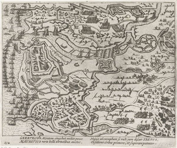
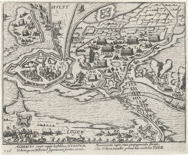
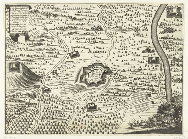
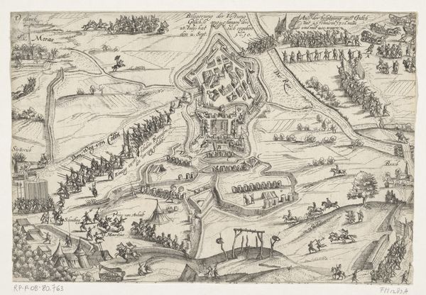
This engraving, dating back to 1606, depicts the Siege of Rheinberg by Spinola. Immediately striking is the aerial perspective, giving us a bird's-eye view of the military operation, a common cartographic technique used to emphasize strategic positioning and spatial relationships. The composition is structured around the river, which acts as a dividing yet connecting element, splitting the scene into distinct zones of activity, the layout gives an order to the military conflict portrayed. Look closely at the repetitive lines of marching soldiers; these patterns underscore the structured nature of warfare, but also hint at the cost of human life through their sheer numbers. The stark contrast between the ordered siege lines and the clustered buildings of Rheinberg raises questions about the imposition of control versus organic growth. The visual language isn't just descriptive; it's argumentative, subtly commenting on power, space, and the impact of conflict on the landscape. It highlights the strategic, as well as the philosophical implications, of such an event.
Comments
No comments
Be the first to comment and join the conversation on the ultimate creative platform.
