drawing, print, etching
#
drawing
# print
#
etching
#
landscape
#
geometric
Dimensions: height 983 mm, width 1140 mm
Copyright: Rijks Museum: Open Domain
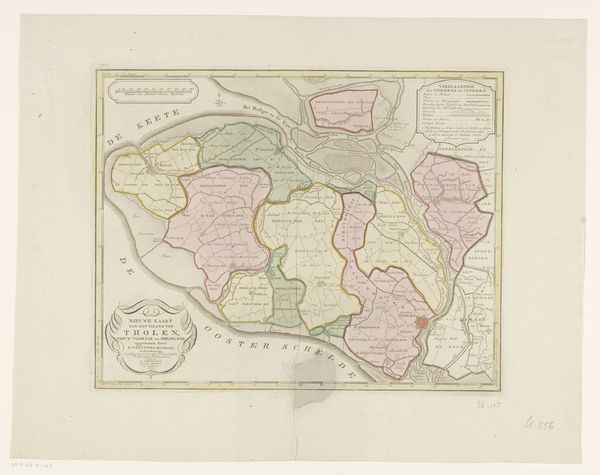
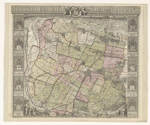
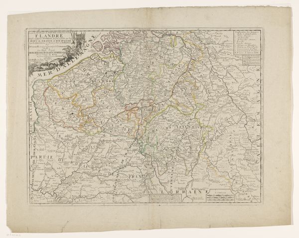
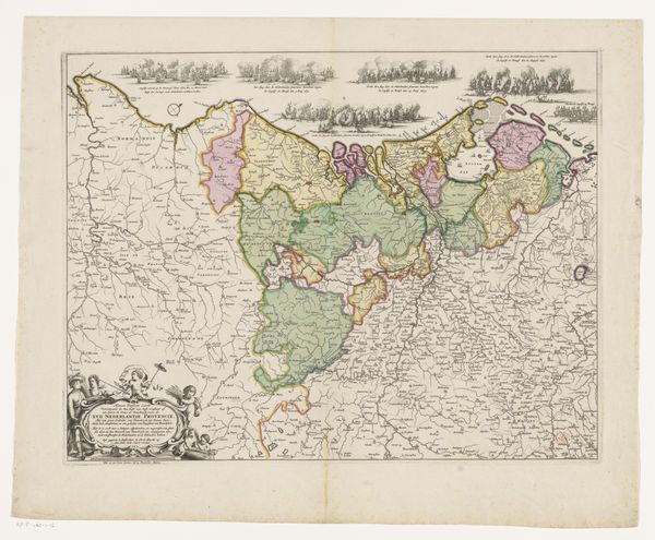
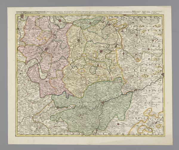
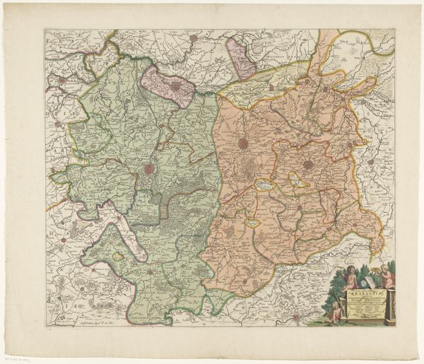
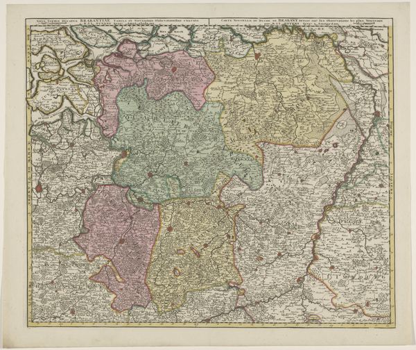
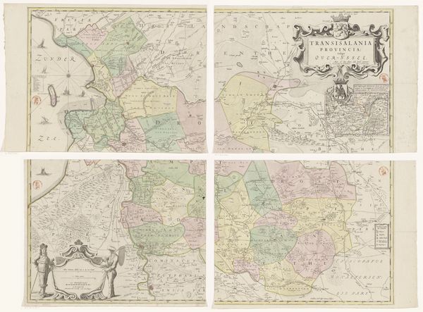
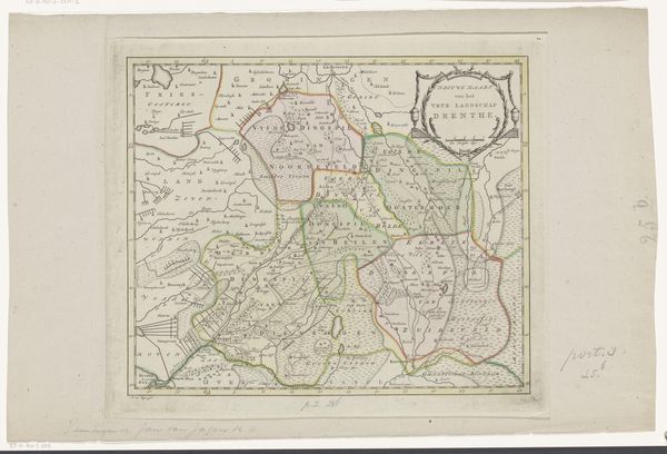
Cornelis van Baarsel made this map of Brabant around the turn of the 19th century, during a time of significant political upheaval in Europe. Van Baarsel's detailed cartography provides insight into the complex interplay between geography and power. Maps are never neutral; they reflect the interests and perspectives of those who create them. Consider how this map, with its careful delineation of territories, might have served the political ambitions of the Dutch Republic, a powerful entity at the time. The map not only charts physical space but also social space. Who was allowed to own land, and who worked it? How did these power dynamics affect the lives of ordinary people? Reflect on the emotional dimensions of belonging and displacement as you consider the human stories behind the geography depicted here. This map invites us to consider how the stories we tell about places shape our understanding of identity, power, and belonging.
Comments
No comments
Be the first to comment and join the conversation on the ultimate creative platform.
More like this