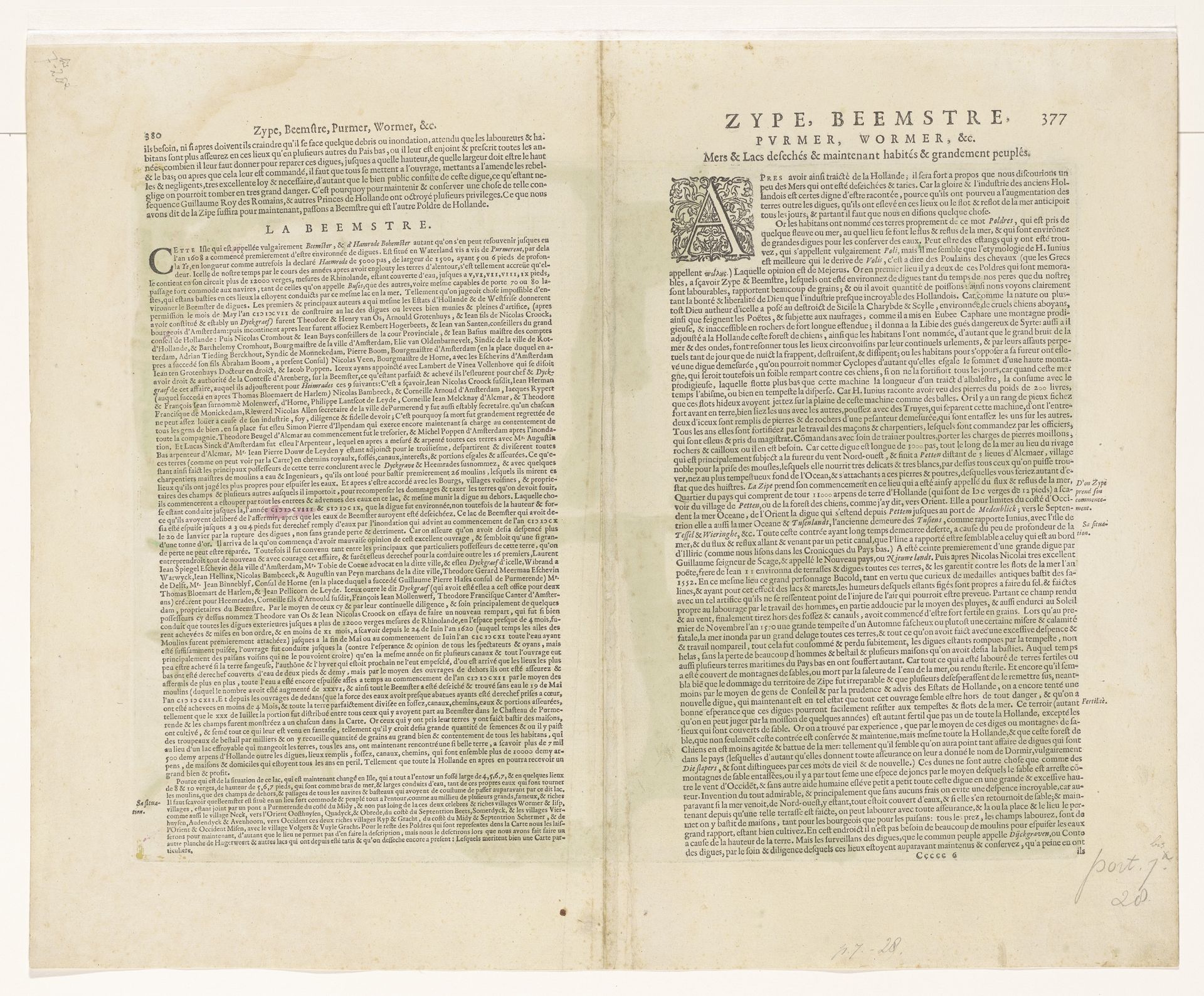
1631 - 1633
Blad met kaarten van de polders van de Zijpe, Beemster, Purmer, Wormer en een kaart van Waterland
Pieter van der Keere
1571 - 1646Location
RijksmuseumListen to curator's interpretation
Curatorial notes
Pieter van der Keere created this map of the polders of Zijpe, Beemster, Purmer, Wormer and Waterland, sometime before his death in 1646. The map reflects the 17th century Dutch obsession with land reclamation and its impact on society. These polders, areas of land reclaimed from water, symbolize the Dutch struggle to control nature, but also highlight the social engineering of the landscape. Consider how the creation of polders transformed not only the physical environment but also the socio-economic structure of the region. The maps detail the transformation of water into habitable land, representing a significant feat of engineering and human will. They suggest that the Dutch identity is intertwined with the mastery of water management. These meticulously detailed maps invite us to reflect on our relationship with the environment, questioning what we gain and what we lose when we reshape the world around us. The map serves as a reminder of the lasting impact of human actions on the landscape and our collective memory.