drawing, paper, ink, engraving
#
drawing
#
baroque
#
perspective
#
paper
#
ink
#
geometric
#
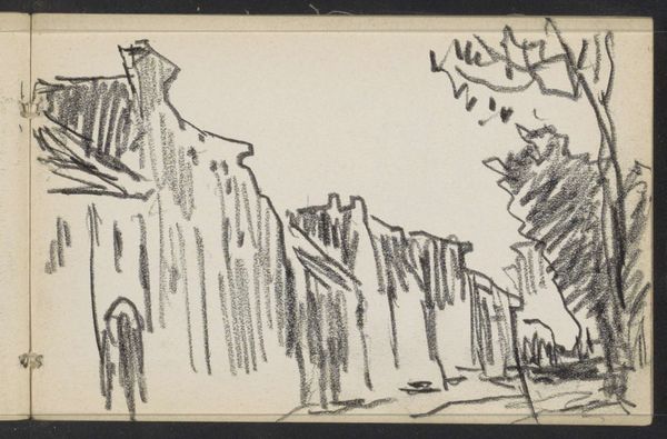
cityscape
#
history-painting
#
engraving
Dimensions: height 143 mm, width 216 mm
Copyright: Rijks Museum: Open Domain
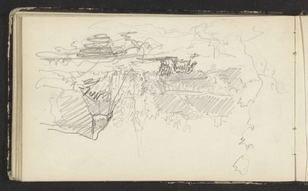
This is a 1726 plan of the fortress of Montmélian made by an anonymous artist. It is rendered in ink on laid paper. Notice how the fortress is meticulously outlined using precise, linear strokes. The rigid geometric forms stand in stark contrast to the irregular, hatched lines that define the landscape. This interplay of form and formlessness speaks to humanity's attempt to impose order on the natural world. The map transcends its functional purpose. It presents a semiotic system. The lines, shapes, and texts act as signifiers that construct a narrative of power, control, and the strategic importance of this site. Consider how the bird’s-eye view flattens the space, reducing the complex three-dimensionality of the fortress to a two-dimensional pattern. This abstraction invites us to reflect on the nature of representation itself. The map is a symbolic construction, a simulacrum that offers its own version of reality.
Comments
No comments
Be the first to comment and join the conversation on the ultimate creative platform.
More like this