graphic-art, print, engraving
#
graphic-art
# print
#
old engraving style
#
geometric
#
ancient-mediterranean
#
line
#
history-painting
#
engraving
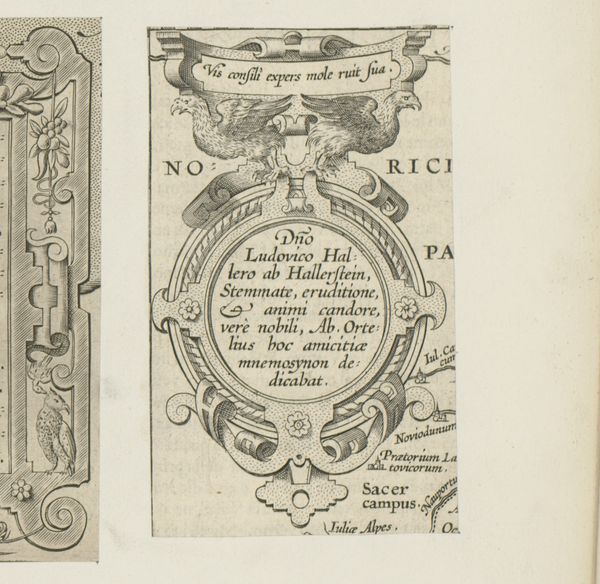
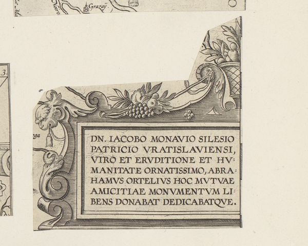
Dimensions: height 183 mm, width 109 mm
Copyright: Rijks Museum: Open Domain
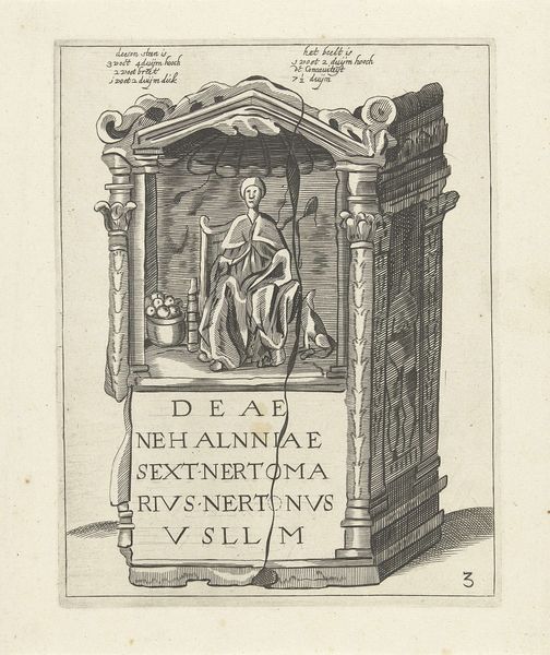
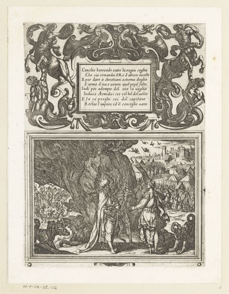
Curator: Let’s look at this print titled, "Rechthoekige cartouche met vrouwelijke herme," made in 1595. What do you think about it? Editor: It has a very formal feel, like something from a textbook, maybe? All that tiny, precise line work. I wonder, what was the intention behind something like this? Curator: It’s a map! Consider the historical context. Cartography in the late 16th century wasn't just about geography; it was also a declaration of power, knowledge, and identity. This particular map describes Dacia and Moesia, regions of the Roman Empire in Southeastern Europe. Think about how these maps participated in defining "Europe" against other continents, and even constructed hierarchies within Europe itself. What visual cues do you see that speak to power or authority? Editor: I see, okay... So, there are those classical figures decorating it - the female herm and what looks like a Roman column. Is that like a nod to the Roman Empire? Curator: Precisely! The visual language is directly referencing classical antiquity. What’s interesting is how the map reclaims this history for a contemporary audience. By visually aligning itself with the grandeur of Rome, the map attempts to legitimize its own knowledge and authority. This can be read as an early form of nation-building or perhaps even a justification for colonial ambitions. How might those "feminine" figures play into that? Editor: Wow, that's a lot more complex than I initially thought. I had no idea maps could be so politically charged. Curator: Maps aren’t neutral. They’re actively shaping the way we understand the world, often reinforcing existing power structures. Examining them critically, like this one, helps us to decode those underlying messages. Editor: So, seeing it as more than just a geographical tool really changes my perspective. Curator: It certainly does! Hopefully, it challenges our assumptions. Maps, like any form of visual representation, are deeply embedded in the politics of their time. Editor: Definitely a different way of looking at things! I’m going to rethink the way I see maps from now on.
Comments
No comments
Be the first to comment and join the conversation on the ultimate creative platform.
More like this