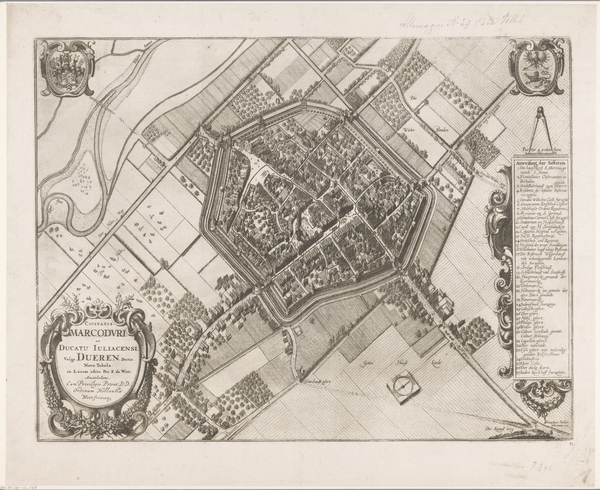
1657
Plattegrond van Düren
Wenceslaus Hollar
1607 - 1677Location
RijksmuseumListen to curator's interpretation
Curatorial notes
Wenceslaus Hollar etched this map of Düren, capturing not just its geography but also its identity. Notice the town's layout, encircled by fortifications; this speaks volumes about its historical context. The emblem of the eagle, prominently displayed, immediately connects us to symbols of power stretching back to Roman times. This heraldic figure echoes through centuries, from imperial standards to modern national symbols. The compass, another striking motif, reflects both practical navigation and broader intellectual ambitions, recalling the Renaissance's quest for knowledge and control over the world. Consider how these symbols trigger echoes across time, stirring collective memories and aspirations. The map is not merely a representation of space, but a dense layering of historical and cultural meanings.