drawing, print, ink, engraving
#
drawing
#
baroque
# print
#
ink
#
cityscape
#
engraving
Dimensions: height 183 mm, width 258 mm
Copyright: Rijks Museum: Open Domain
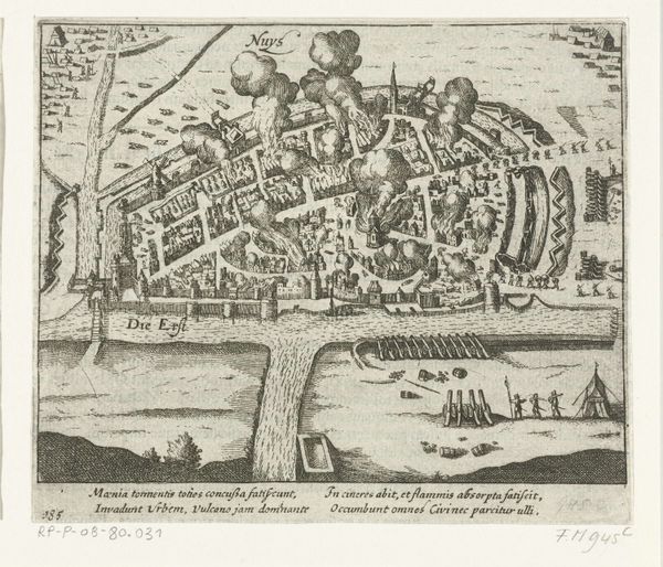
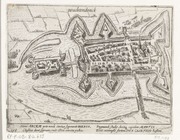
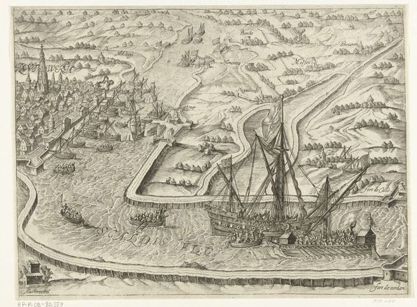
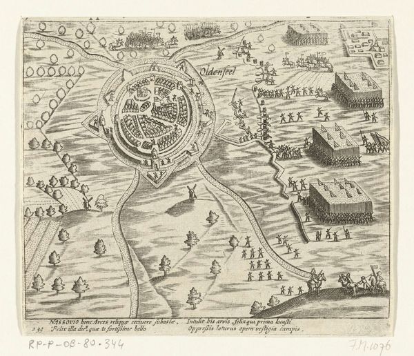
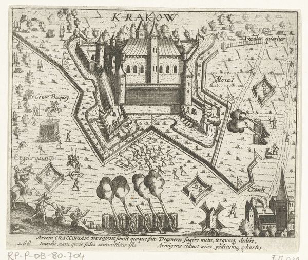
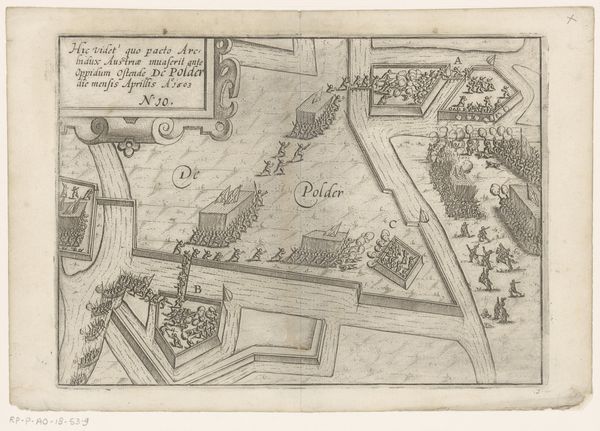
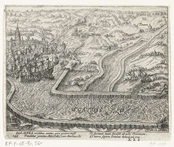
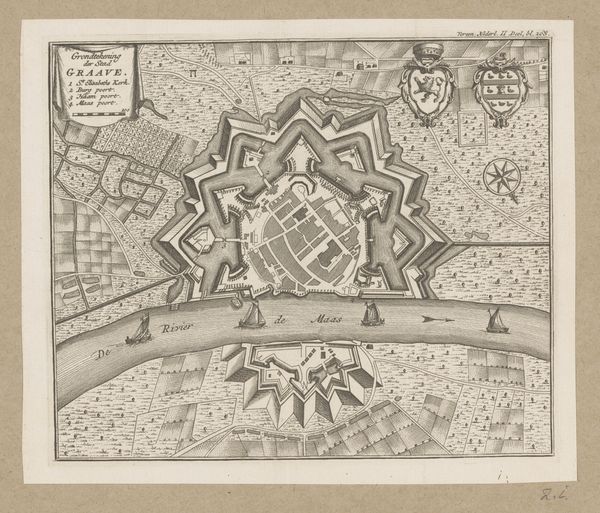
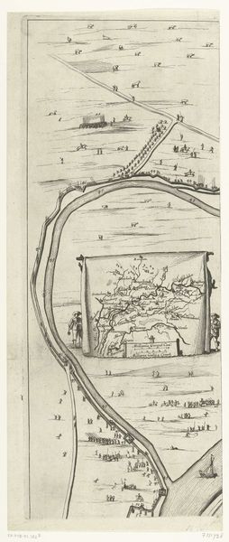
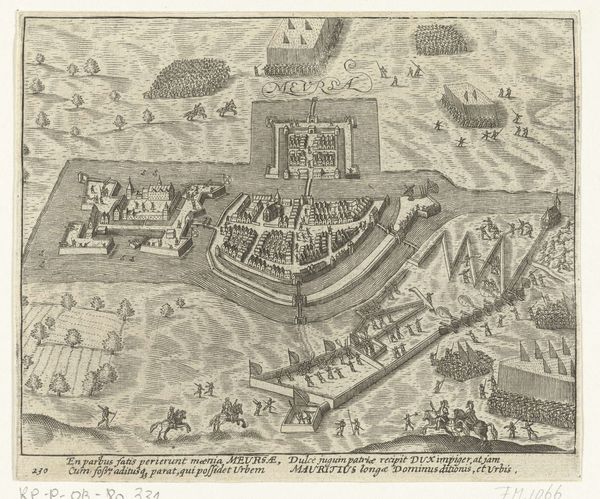
This "Plattegrond van Wesel," was made by Gaspar Bouttats, in the Netherlands. The print depicts the city of Wesel after its capture by the French in 1672, during the Franco-Dutch War. But this isn't just a straightforward record; it's deeply embedded in the politics of imagery. Wesel's capture was a significant event, part of Louis XIV's expansionist ambitions, and prints like these served a crucial propaganda function. They visually asserted French power, showcasing military victories and territorial gains to both domestic and international audiences. The meticulous detail in the map, from fortifications to individual buildings, emphasizes control and authority. To truly understand this print, we need to consider the socio-political context of 17th-century Europe. The Franco-Dutch War was driven by economic and political rivalries, religious tensions, and dynastic ambitions. Analyzing archival sources, military histories, and period pamphlets can reveal the full significance of this seemingly simple city plan. Through historical study, we can understand its role in shaping perceptions of power and national identity.
Comments
No comments
Be the first to comment and join the conversation on the ultimate creative platform.
More like this