print, engraving
#
baroque
# print
#
old engraving style
#
15_18th-century
#
cityscape
#
history-painting
#
engraving
Dimensions: height 182 mm, width 195 mm
Copyright: Rijks Museum: Open Domain
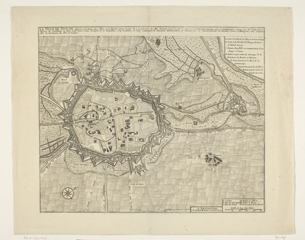
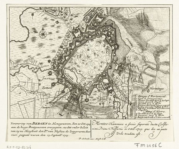
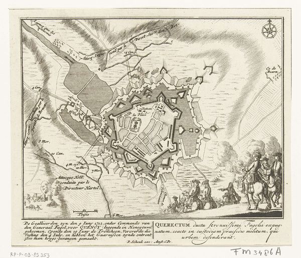
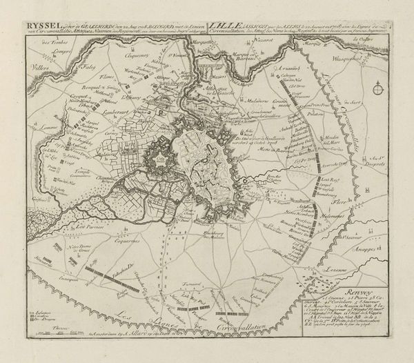
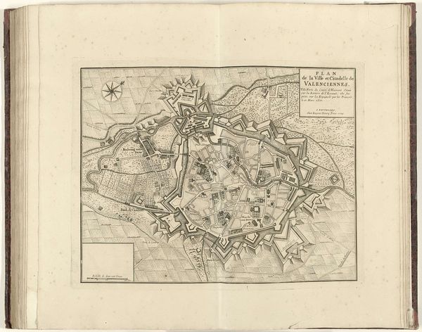
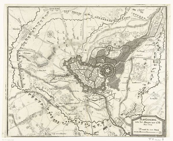
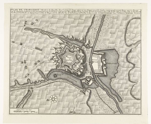
Pieter Schenk's "Plattegrond van Douai" was printed in 1710, using etching and engraving. These are printmaking techniques, part of a long lineage of reproductive technologies. The material reality of the map is inextricably linked to its function. Note the fine, precise lines; the etcher's skill is evident in the detail of the city's layout, fortifications, and surrounding landscape. Engraving allows for the distribution of knowledge, and in this case, military intelligence. The work involved in creating such a map was intensive, and those lines were critical to the accuracy of the document. Consider too, the social context: Douai's strategic importance as a fortified city, reflected in the map's emphasis on military infrastructure. Such maps weren't simply artistic renderings, but tools of power, reflecting the political landscape of 18th-century Europe. They were critical to maintaining empires and expanding trade routes. In the end, by attending to the materials, processes, and social context of "Plattegrond van Douai," we gain a deeper understanding of its cultural significance.
Comments
No comments
Be the first to comment and join the conversation on the ultimate creative platform.
More like this