

1850 - 1881
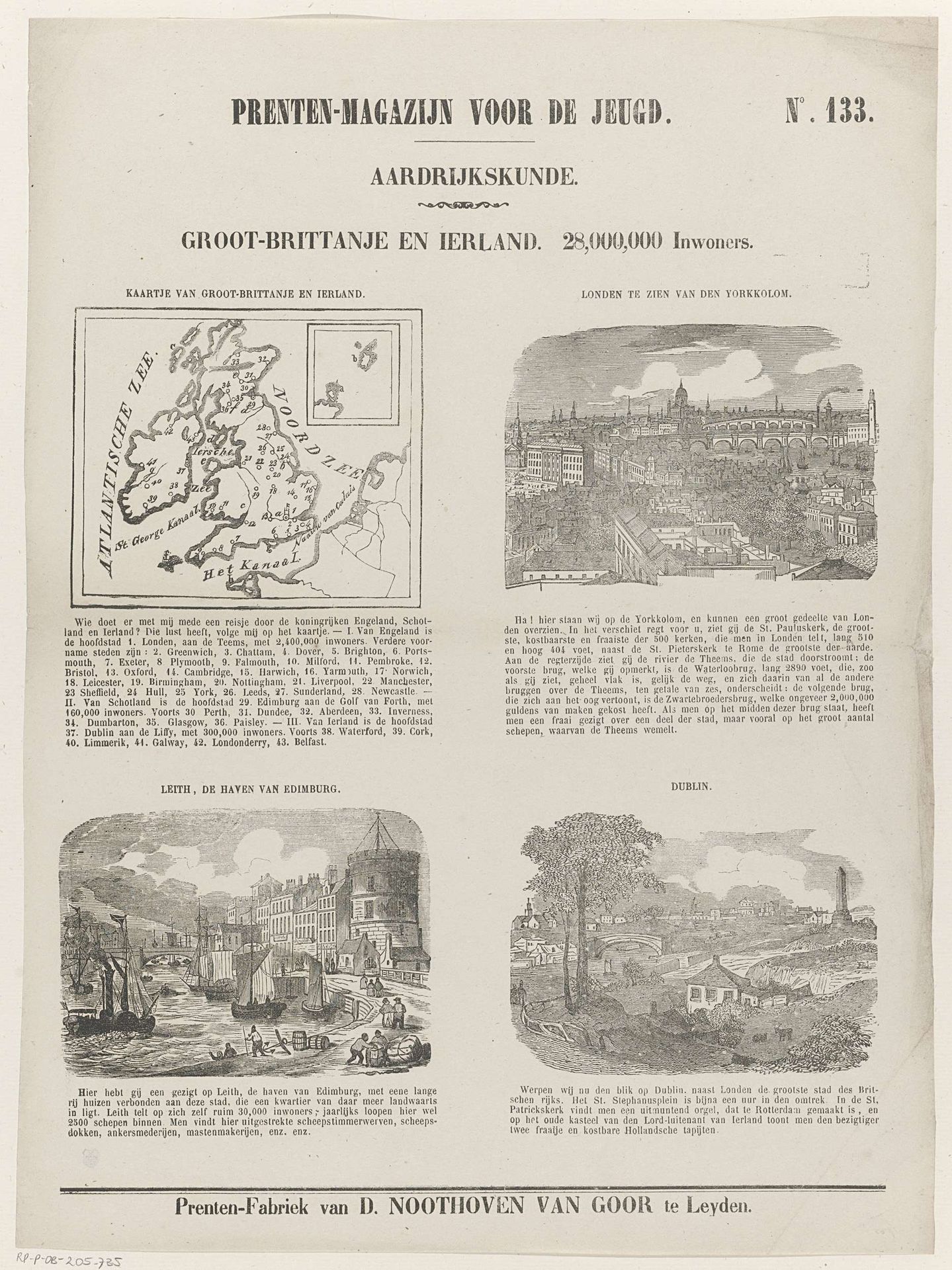
Groot-Brittanje en Ierland. 28,000,000 inwoners

Listen to curator's interpretation
Curatorial notes
This engraving, made by Dirk Noothoven van Goor, presents a map of Great Britain and Ireland alongside cityscapes of London, Edinburgh and Berlin. The map itself, with its borders and place names, is a powerful symbol of geographical and cultural identity. Consider the image of London seen from York Colon; the architectural representation of the city as an indicator of culture, progress, and trade that has been seen in works of art for centuries. This iconography has roots that reach back to antiquity, symbolizing the ideal of the Civitas. Now, observe the shift in artistic representation of urban landscapes from ancient times to the printing press era. These changes mirror the rise of the merchant class and a shifting cultural focus. Images of London are not just topographical records but are, in essence, containers of collective memory, evoking a sense of national pride and continuity. This invokes a deep psychological connection, reinforcing the powerful idea of the city as a symbol of civilization and progress.